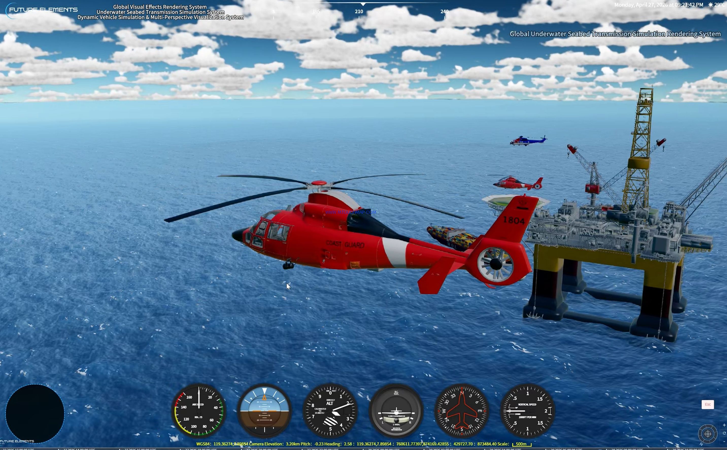
Global Underwater Seabed Transmission Simulation Rendering System
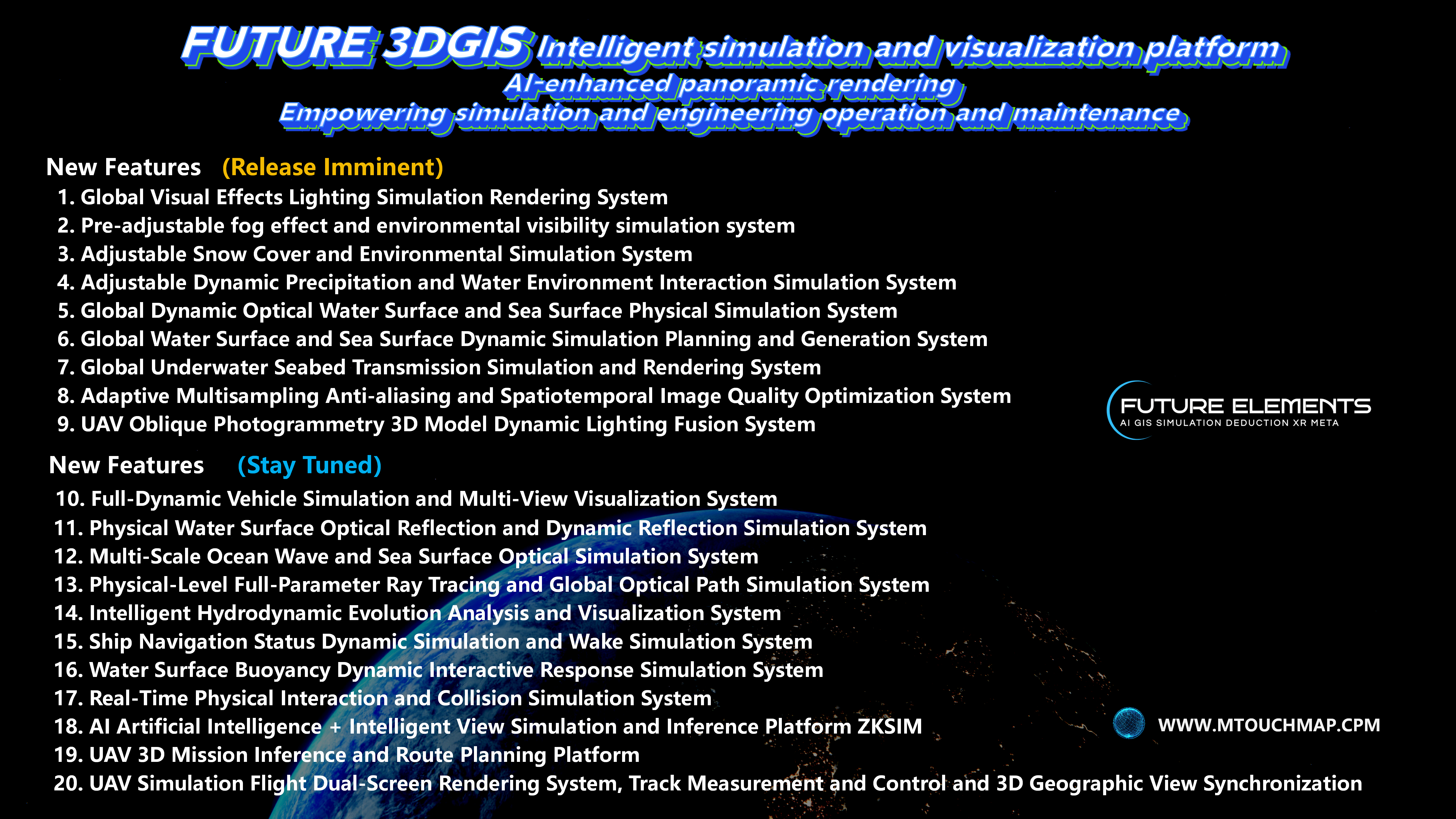
FUTURE 3DGIS is a professional simulation, plotting, and exercise platform for emergency command and fire drill applications. It integrates world leading 3D visual rendering technologies and intelligent analysis algorithms, delivering a full process, high fidelity digital twin solution for the emergency response industry.
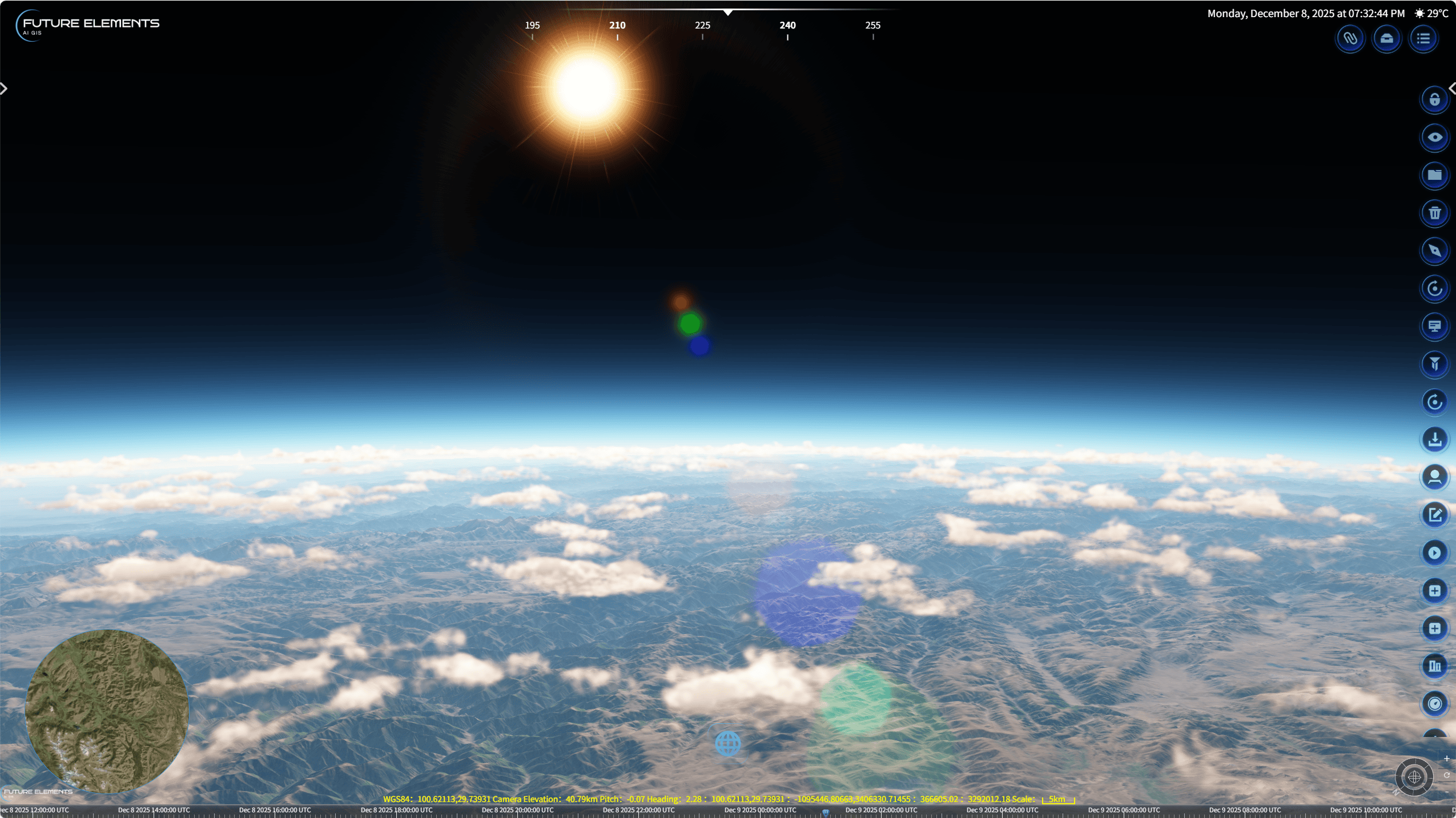
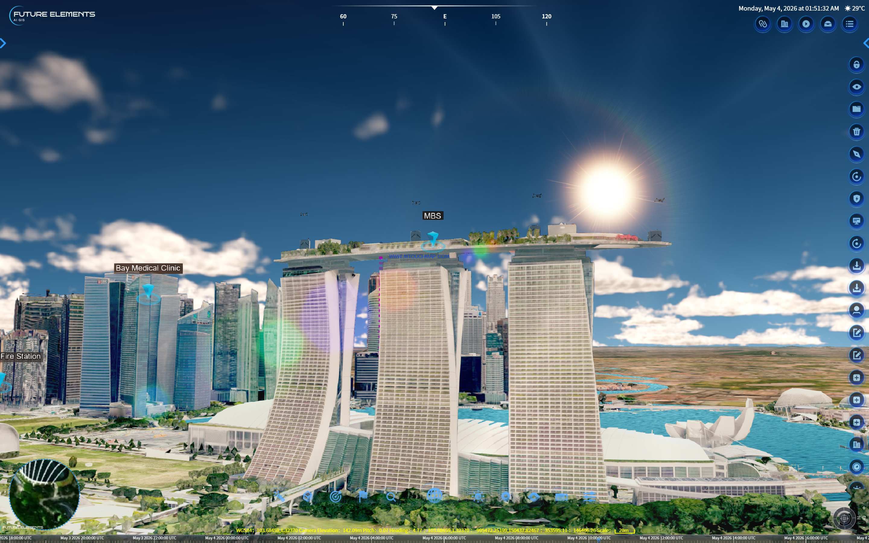
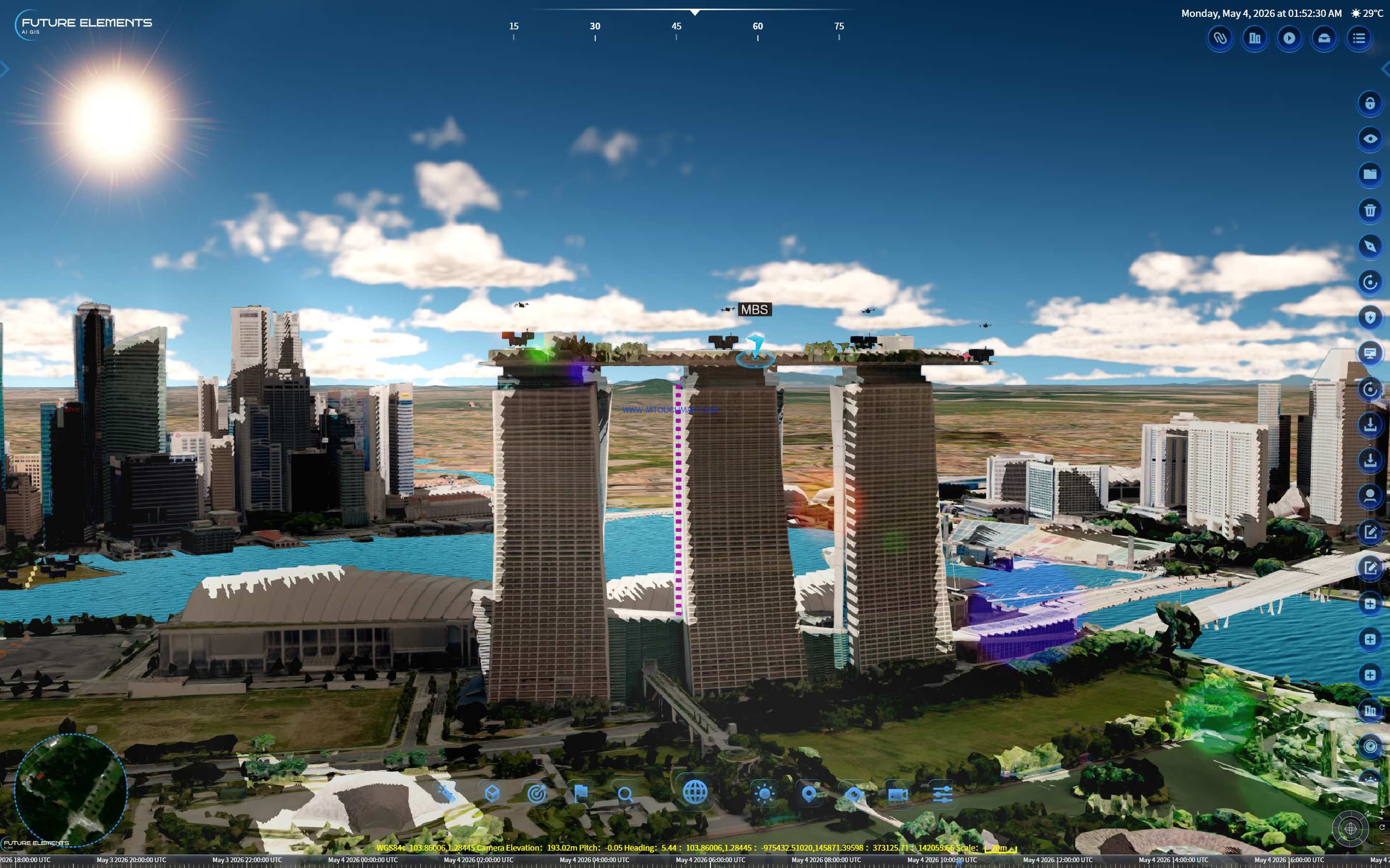
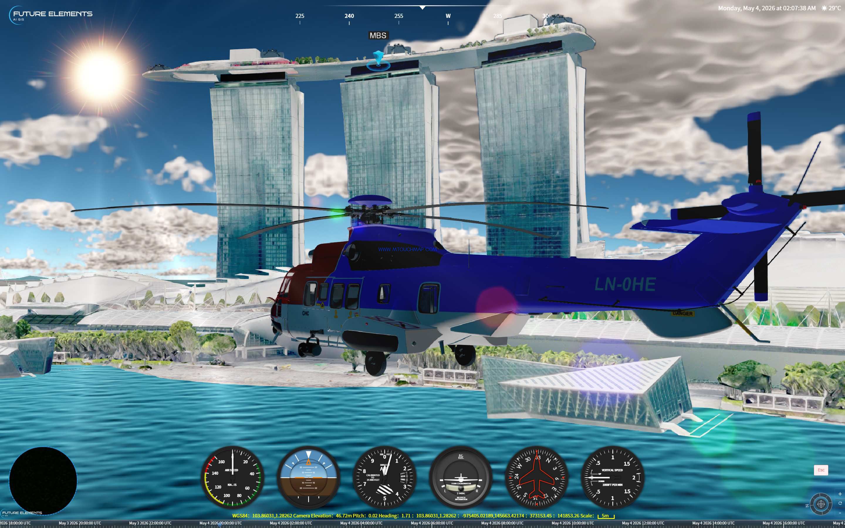
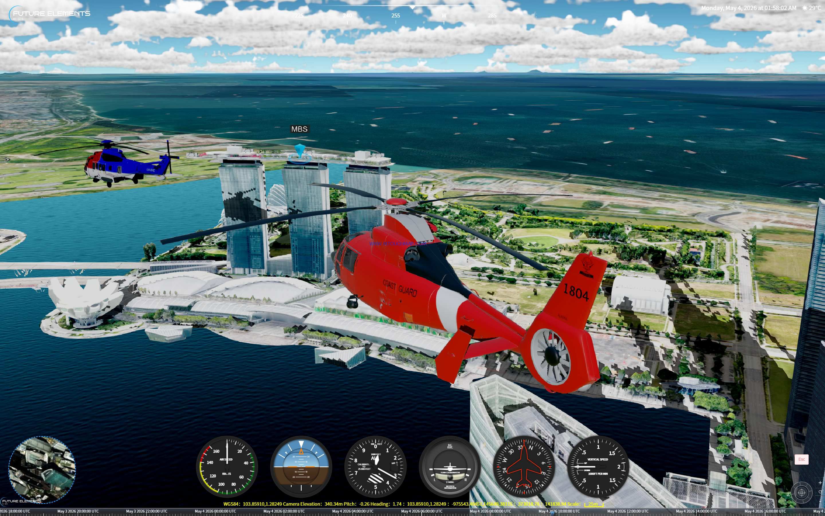
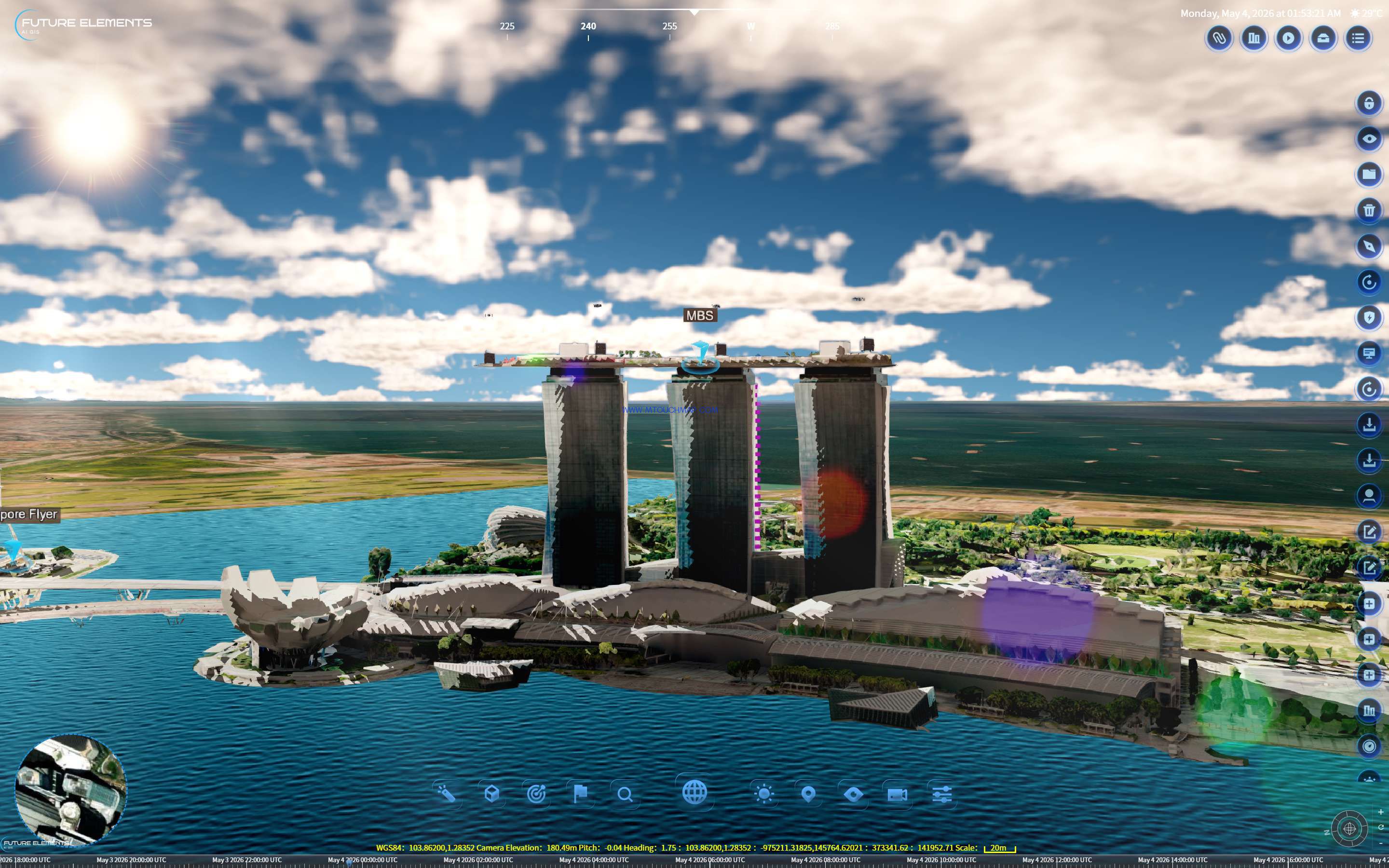
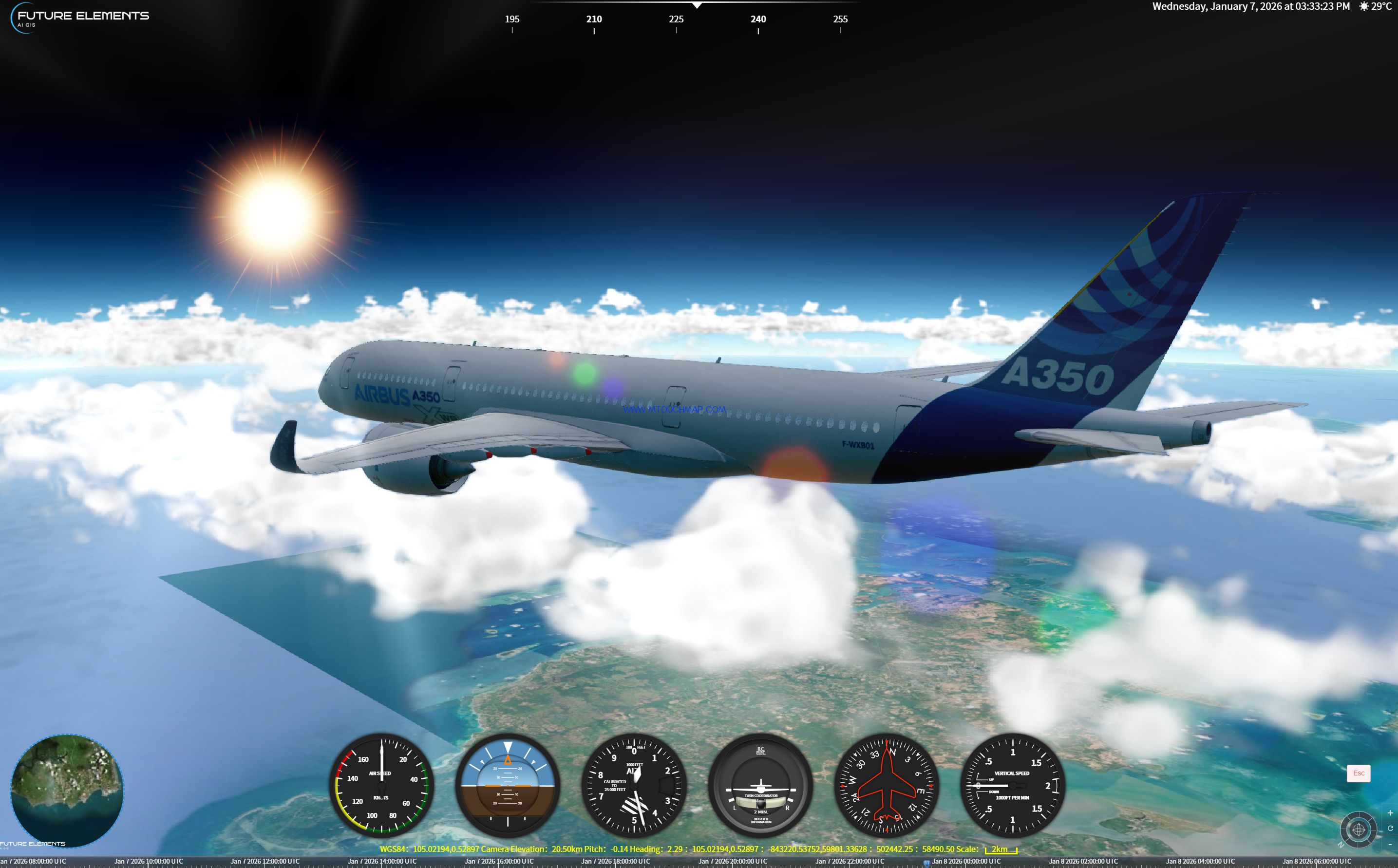
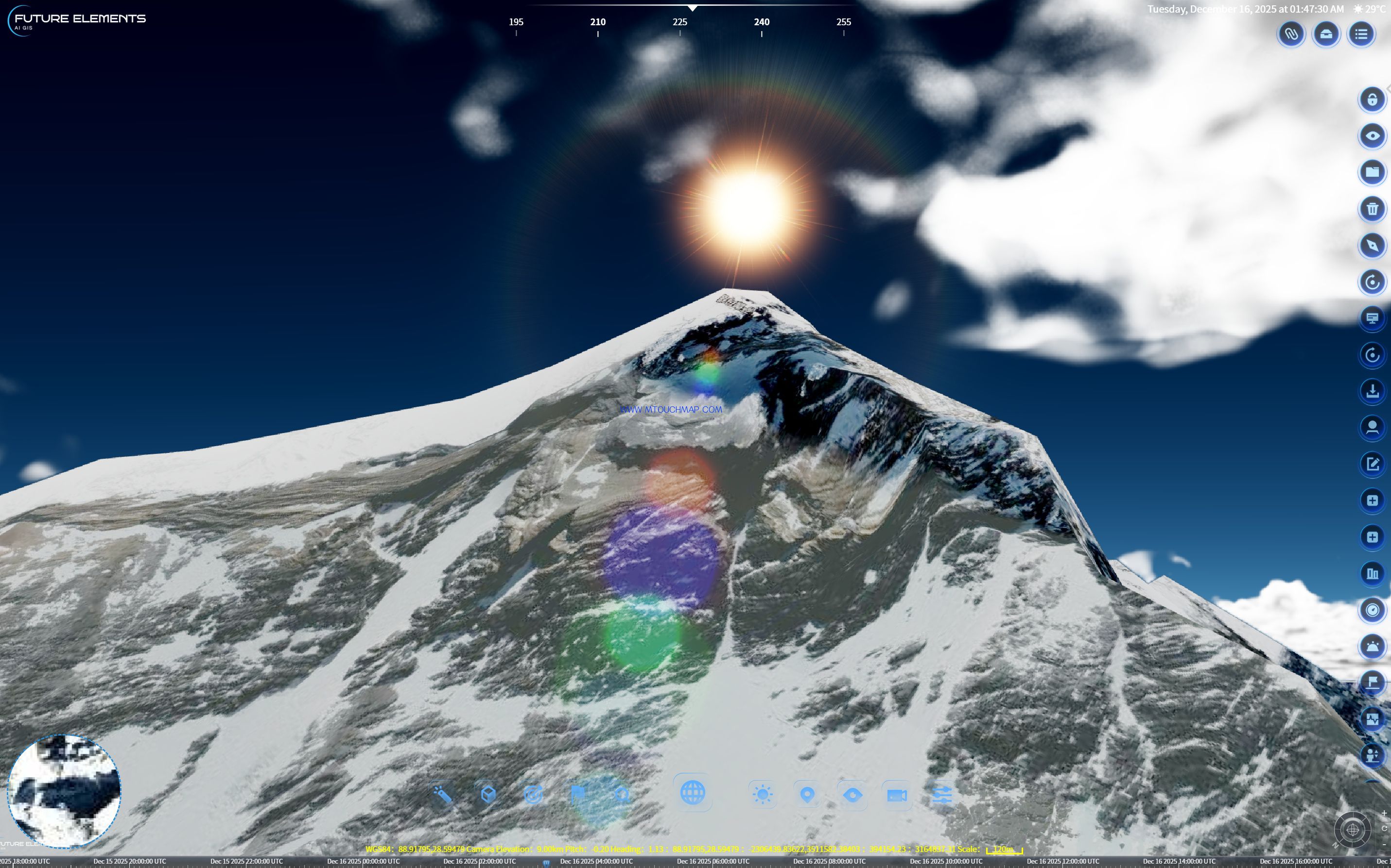
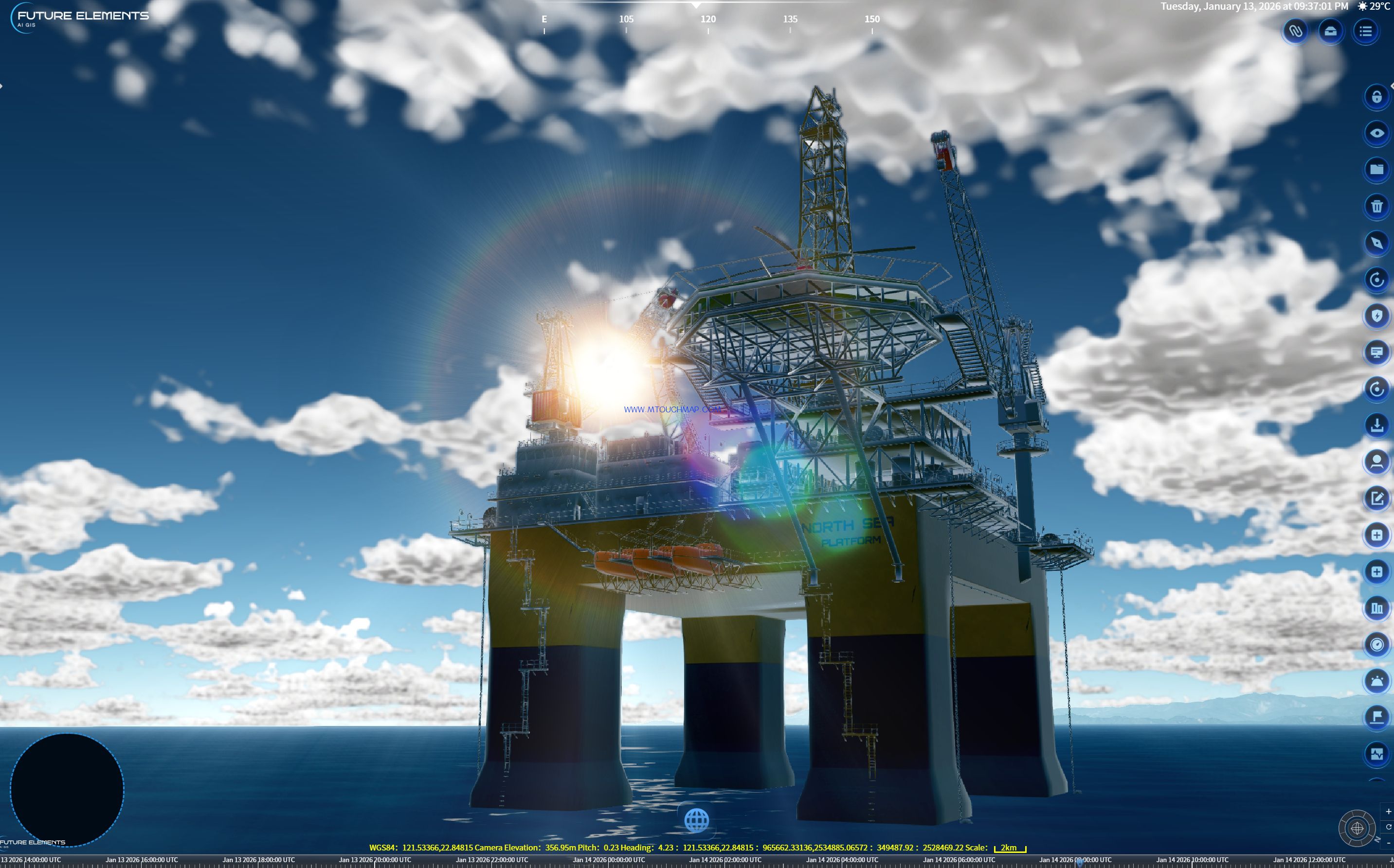
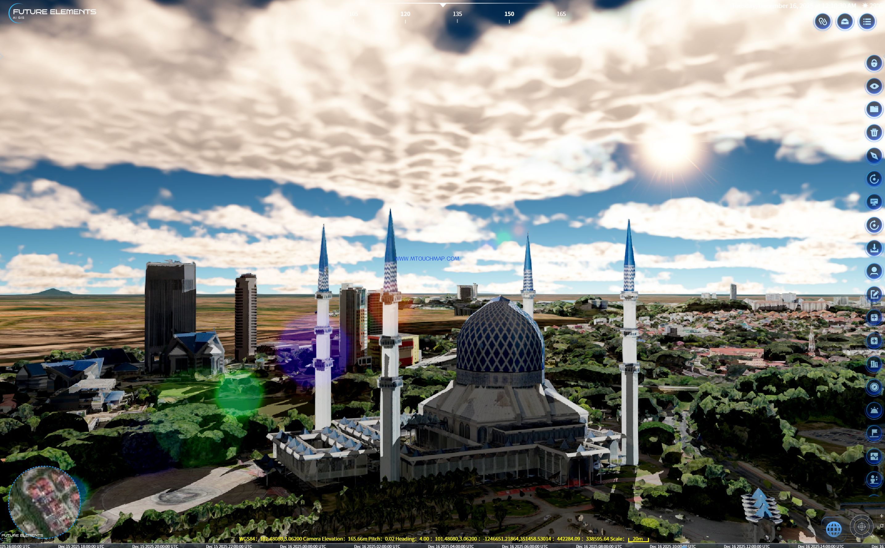
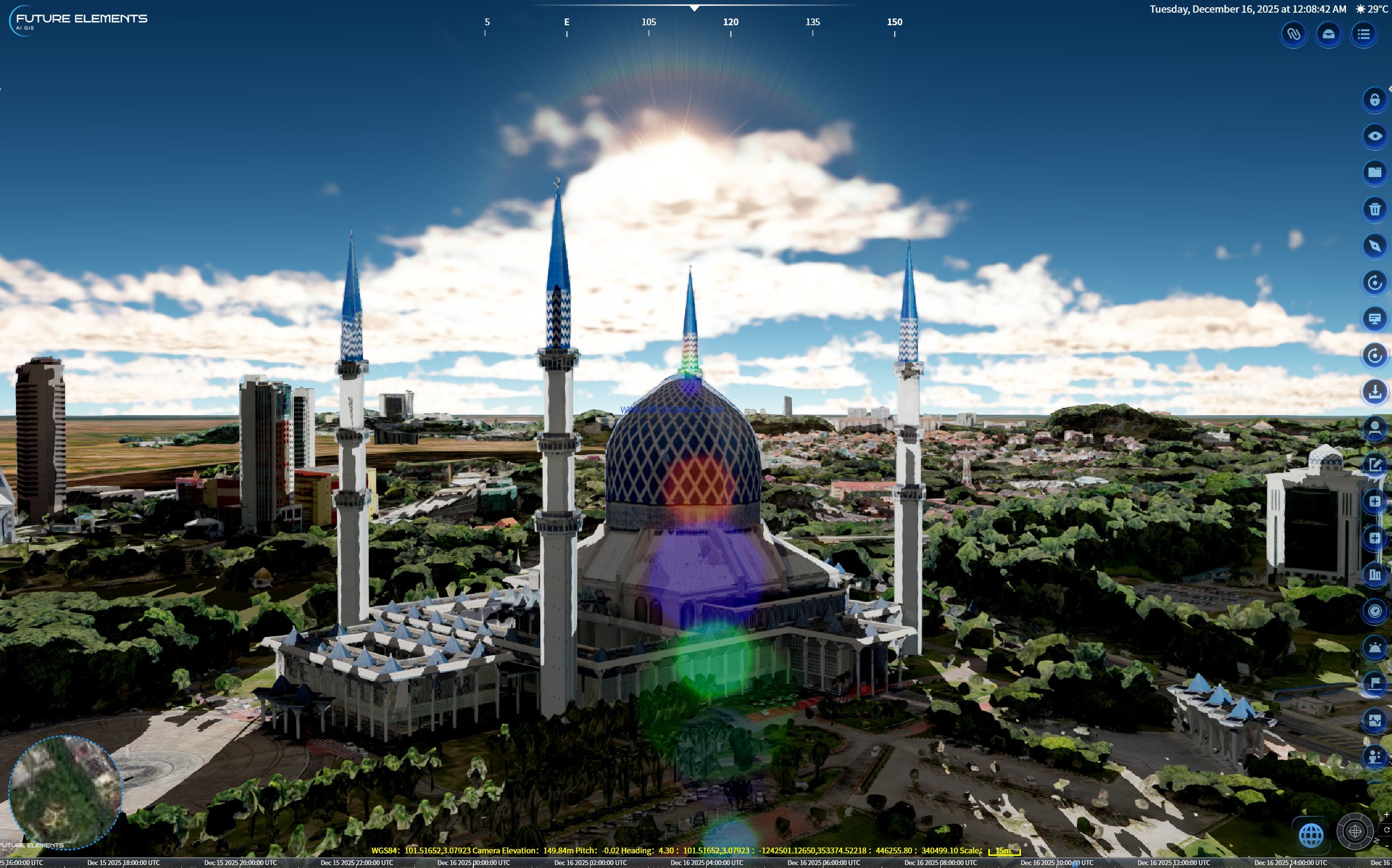
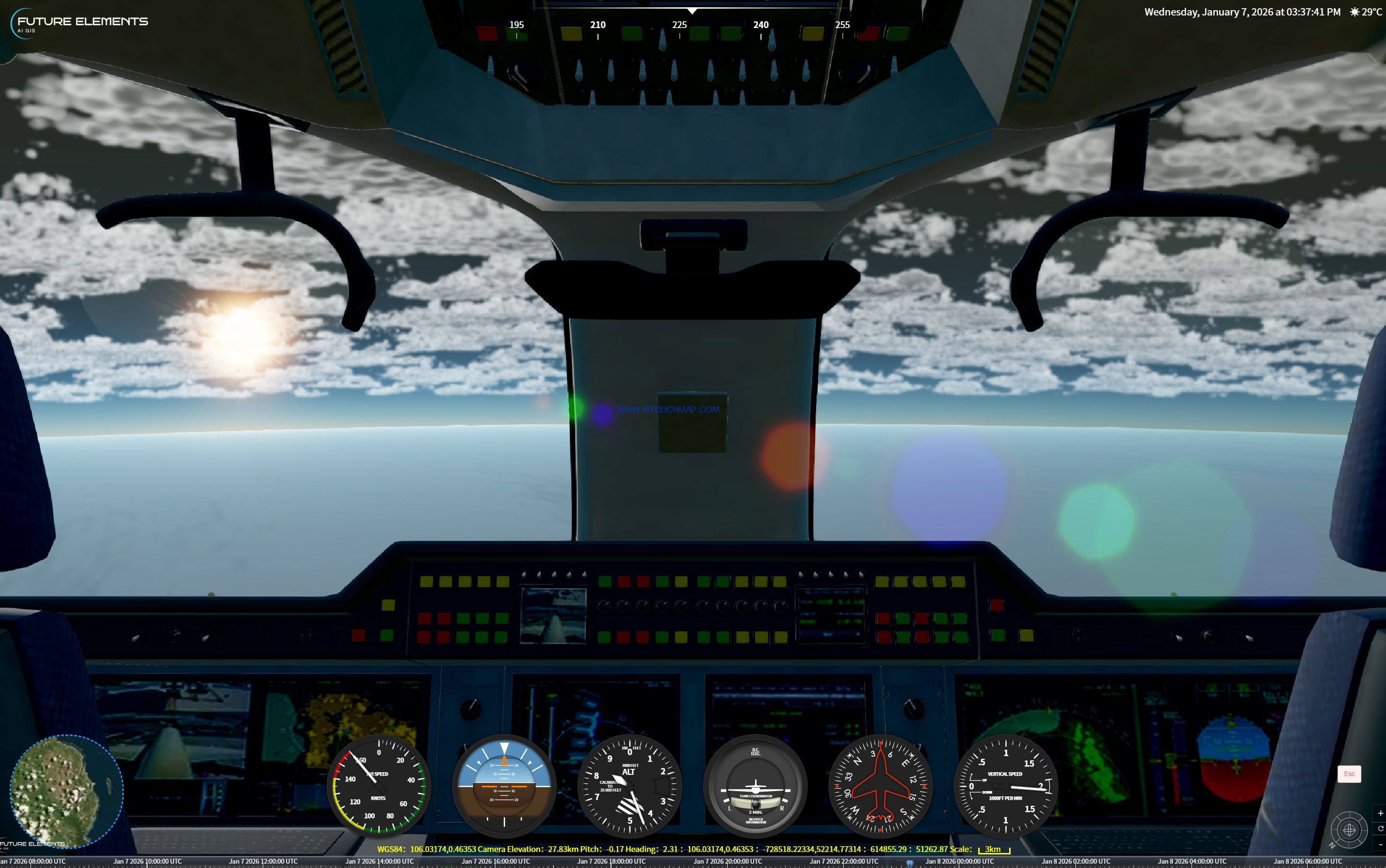
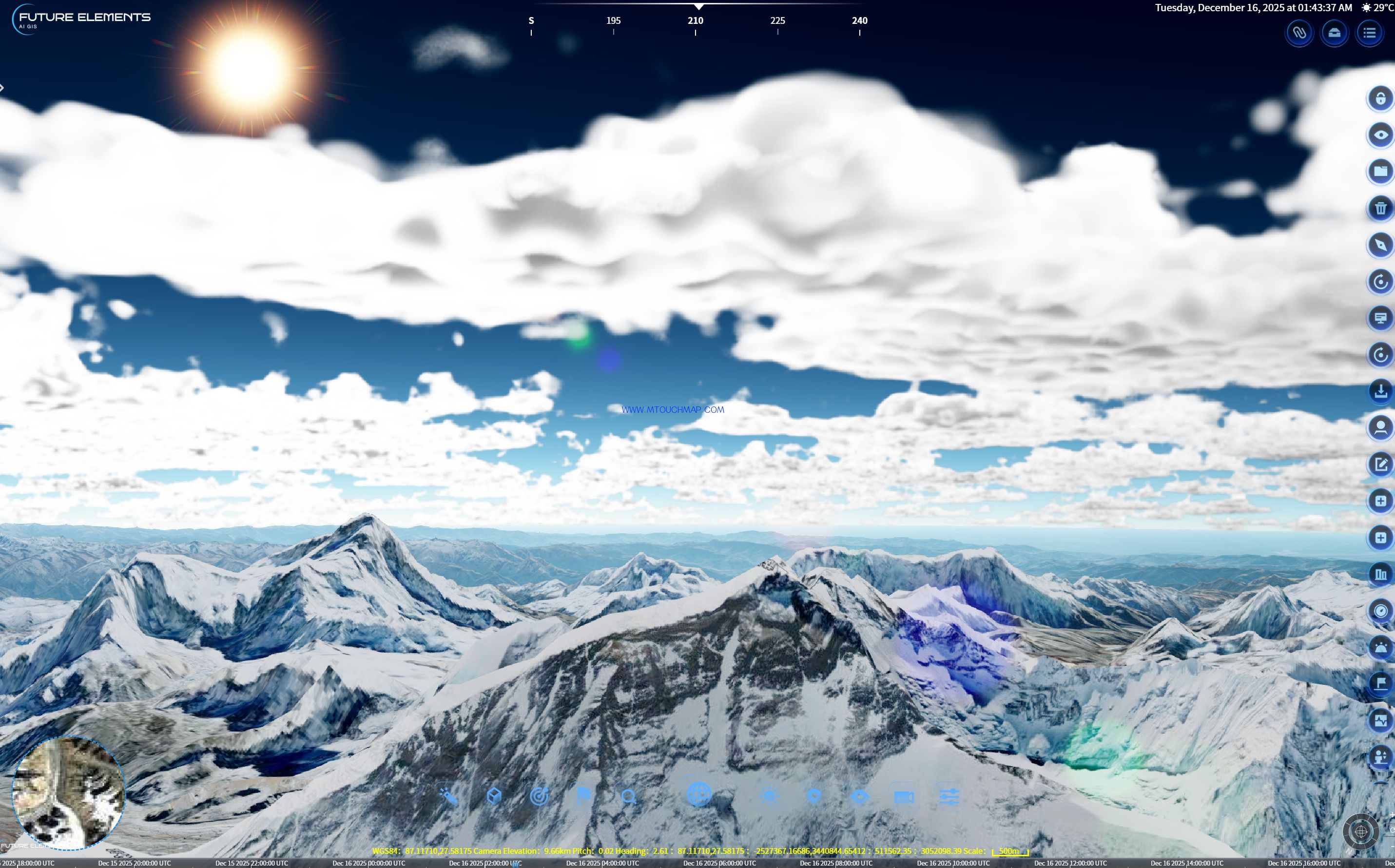
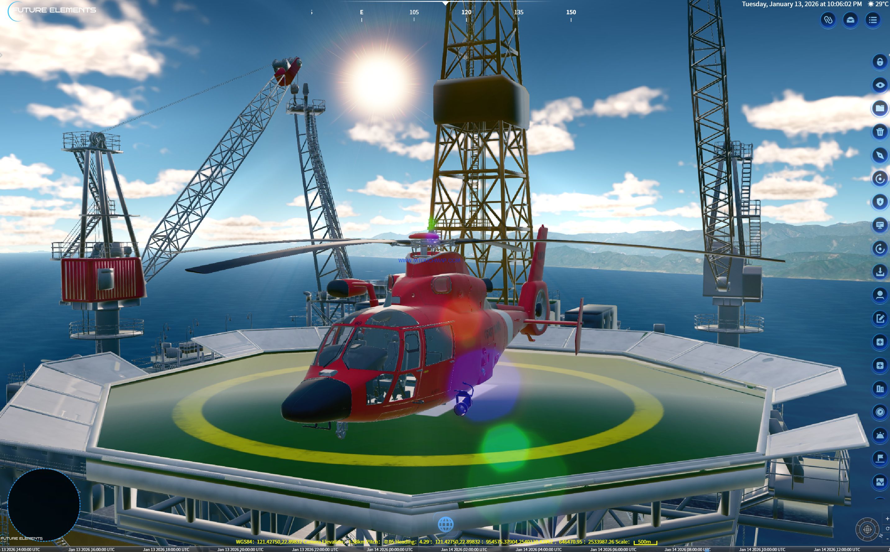
The platform is equipped with a global visual effects rendering system, supporting full parameter control including glow, atmosphere, volumetric clouds, volumetric light, color filters, and lens flare. Based on drone oblique photogrammetry data, it achieves millimeter level reconstruction of buildings and terrain. With 24 hour dynamic lighting and dozens of weather simulations including rain, snow, fog, thunderstorms, and snow cover, the platform creates immersive environments for emergency drills.
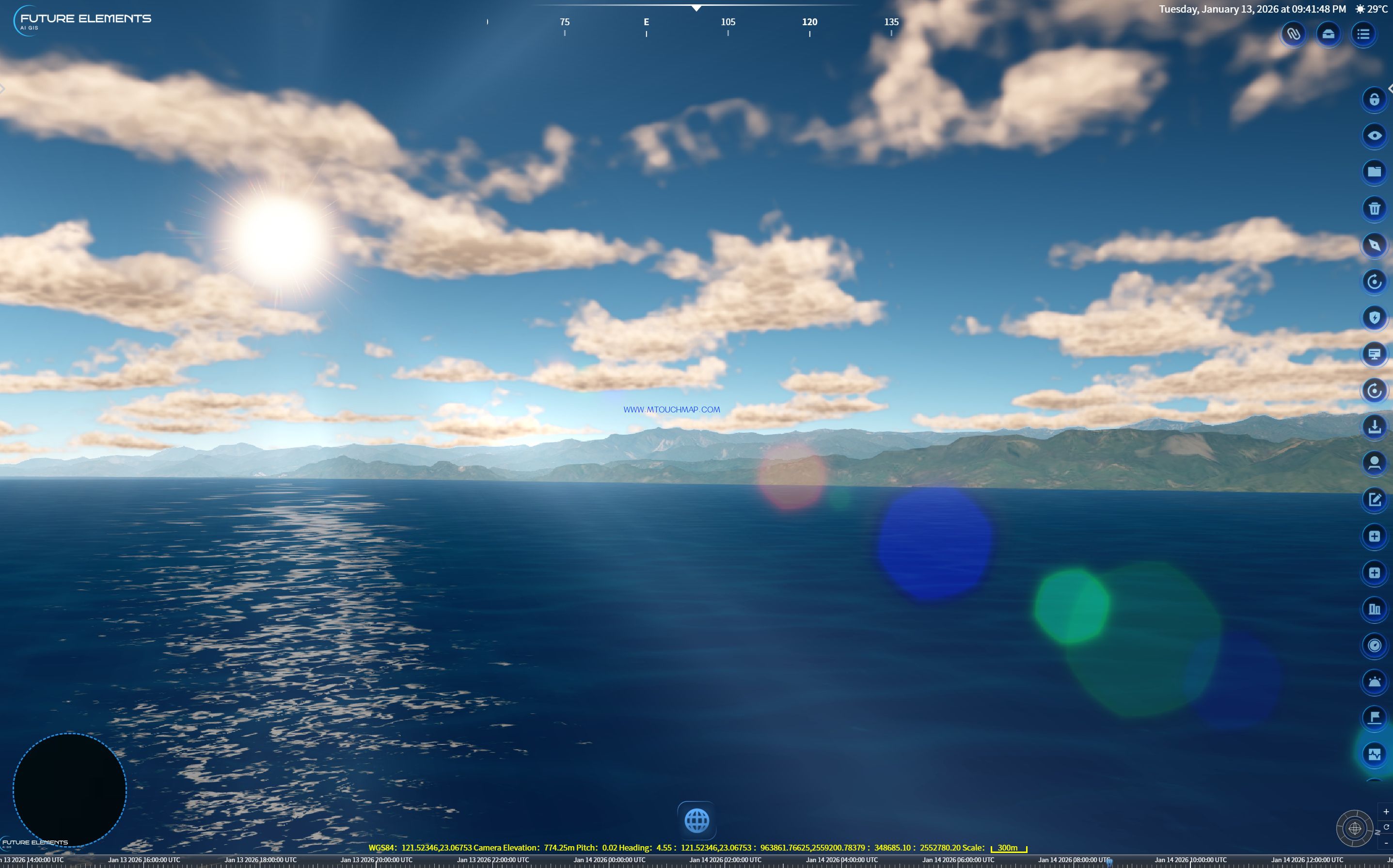
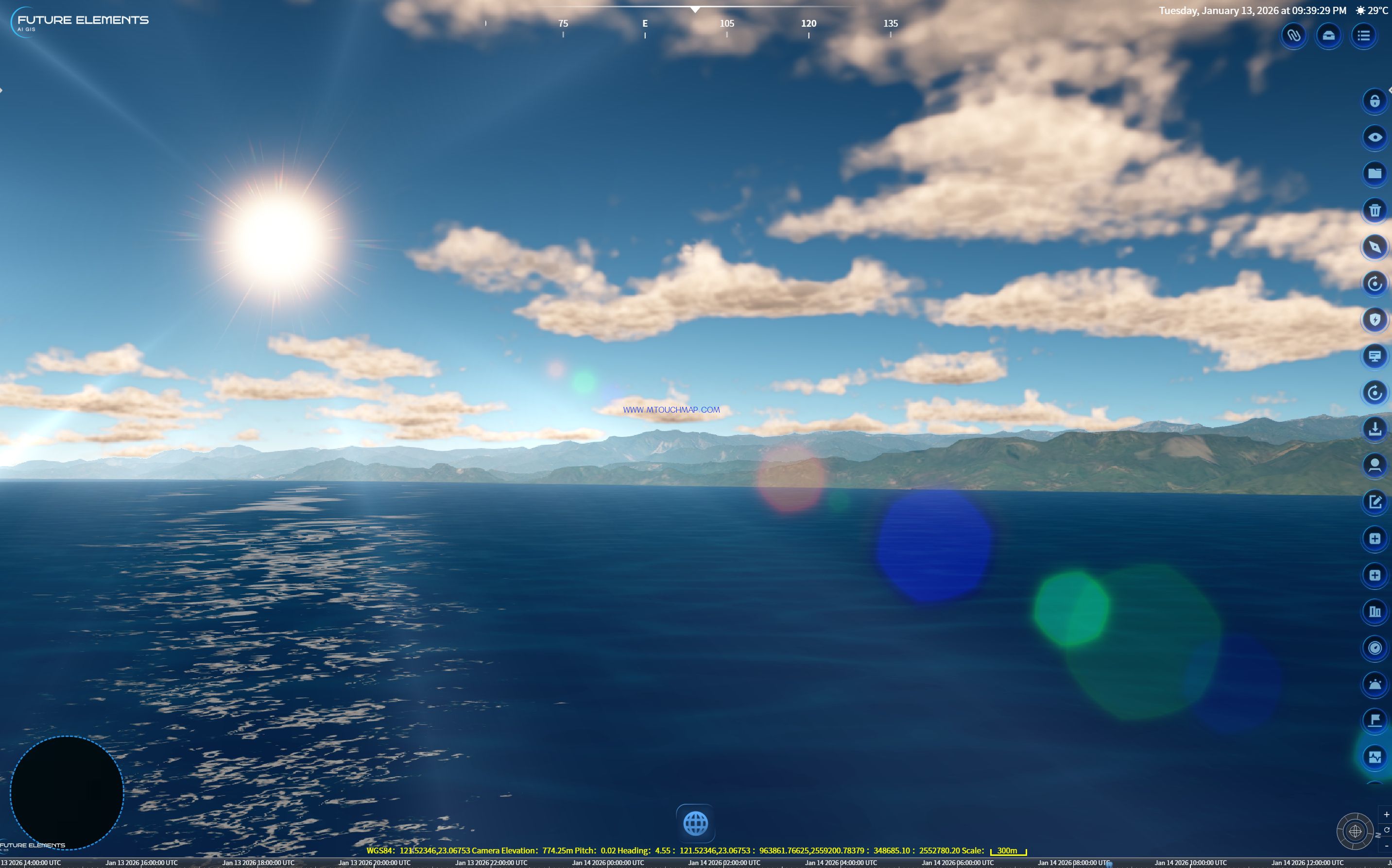
Back to the Sulu Sea, with adjustments to atmosphere, fog, and lighting, the sea surface glistens; ambient occlusion creates delicate transitions between mountain and water — providing physically based lighting for marine environment simulation, coastal digital twins, as well as amphibious landing environment analysis and maritime situational awareness.
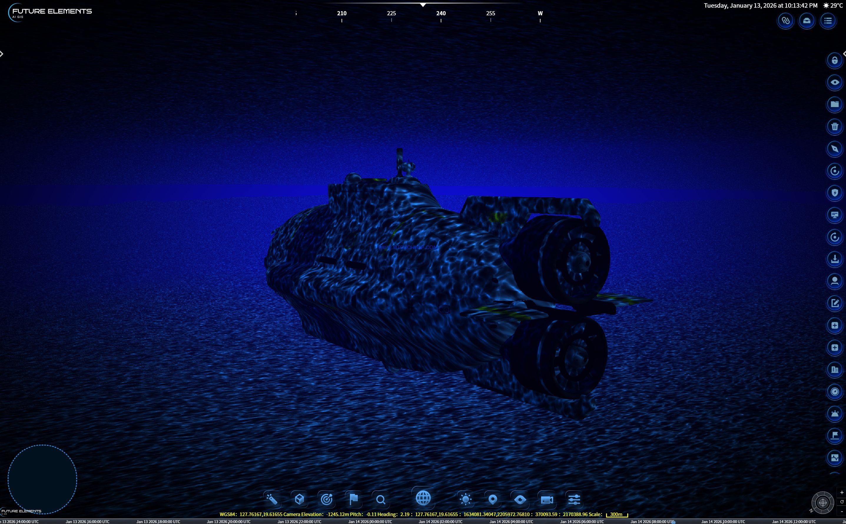
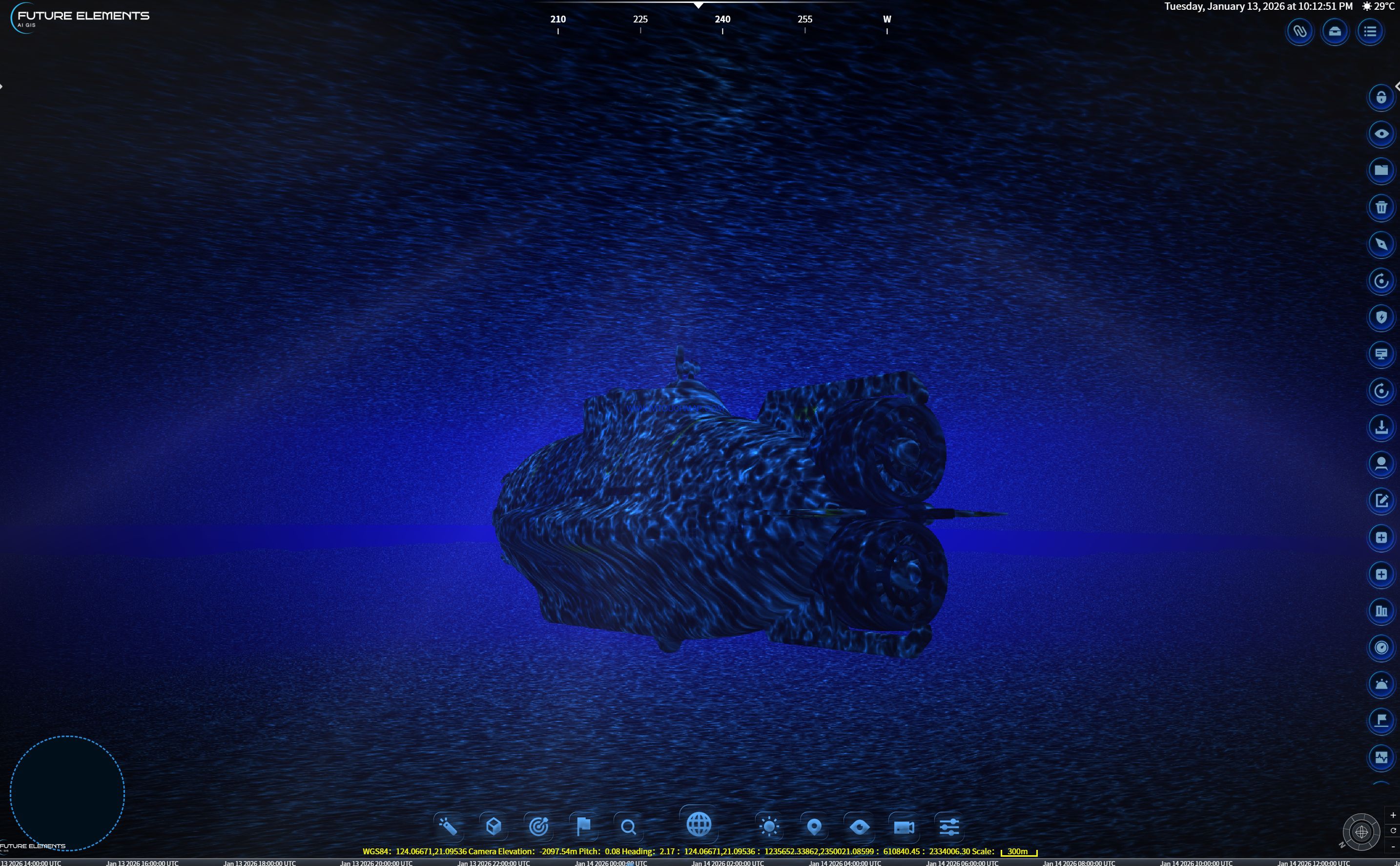
Beneath the Sulu Sea, the underwater transmission system highly restores various underwater lighting environments, from clear shallows to dark deep seas. Precisely controlling water color, texture repeat, and underwater fog attenuation, it authentically simulates the optical effects of sunlight penetrating the water surface — providing critical visualization for marine engineering, underwater exploration, as well as underwater reconnaissance and submarine operational environment simulation.
Double-click the video to watch it in full screen.