Border Command Centre
FUTURE AI 3DGIS — Border Command Centre
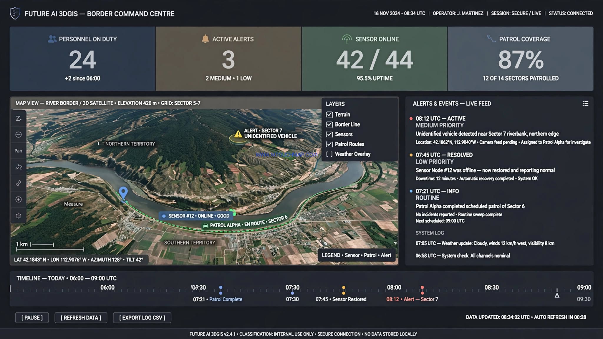
One 3D map to see the whole border, manage duty live, and resolve incidents faster.
The problem
Border command is hard when maps, sensors, patrols, video and emergency plans live in different systems. Commanders cannot see the whole border at once, duty teams are hard to track, and incidents are handled by phone and paper.
Our solution
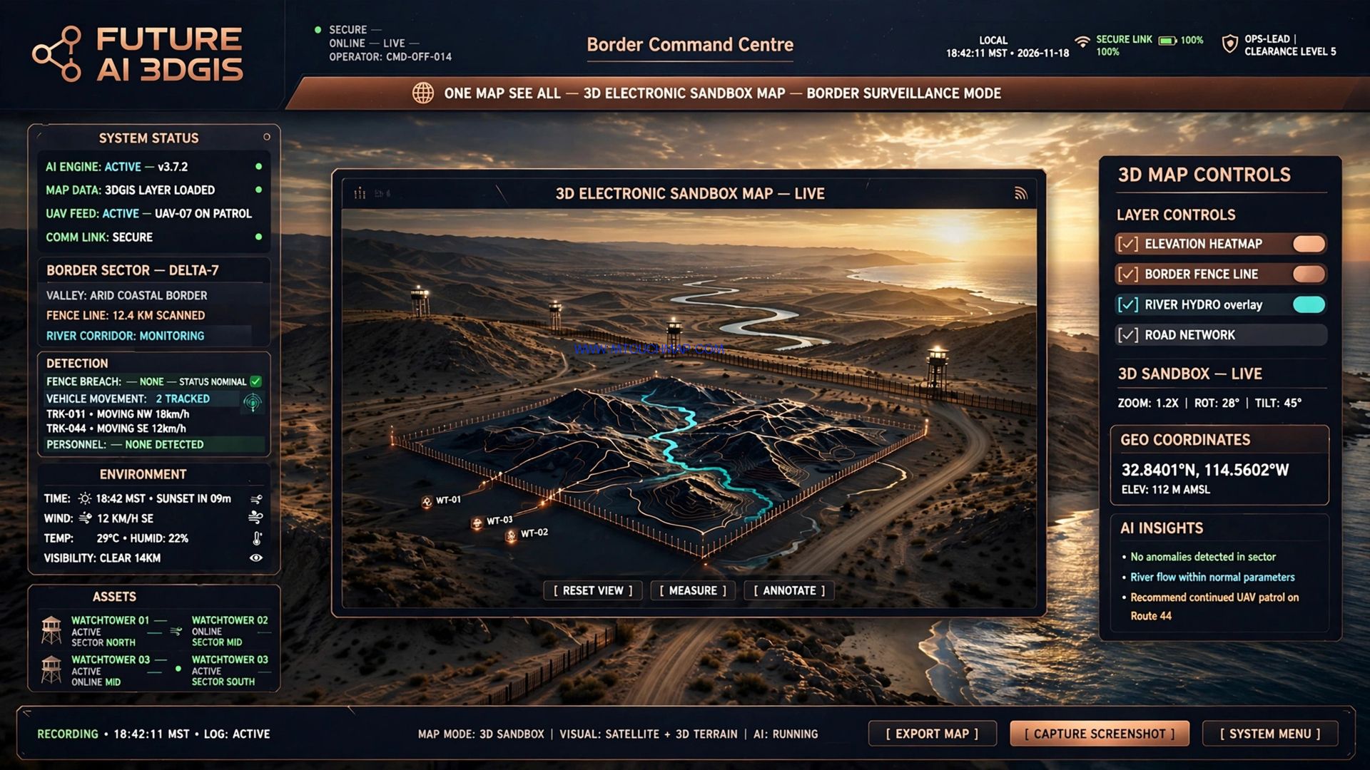
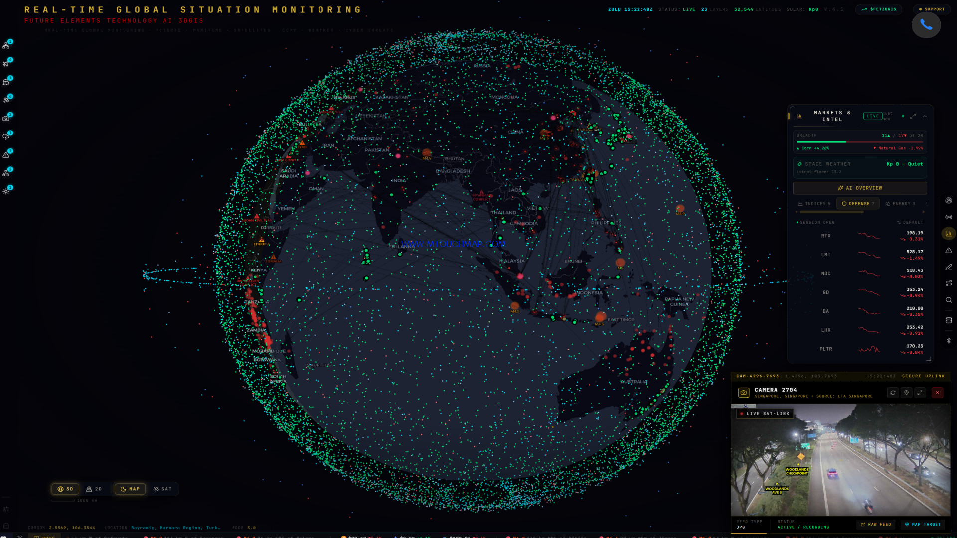
FUTURE AI 3DGIS puts everything on one 3D electronic sandbox map — in a browser, with no plug-in.
1. Maps are scattered → One unified map
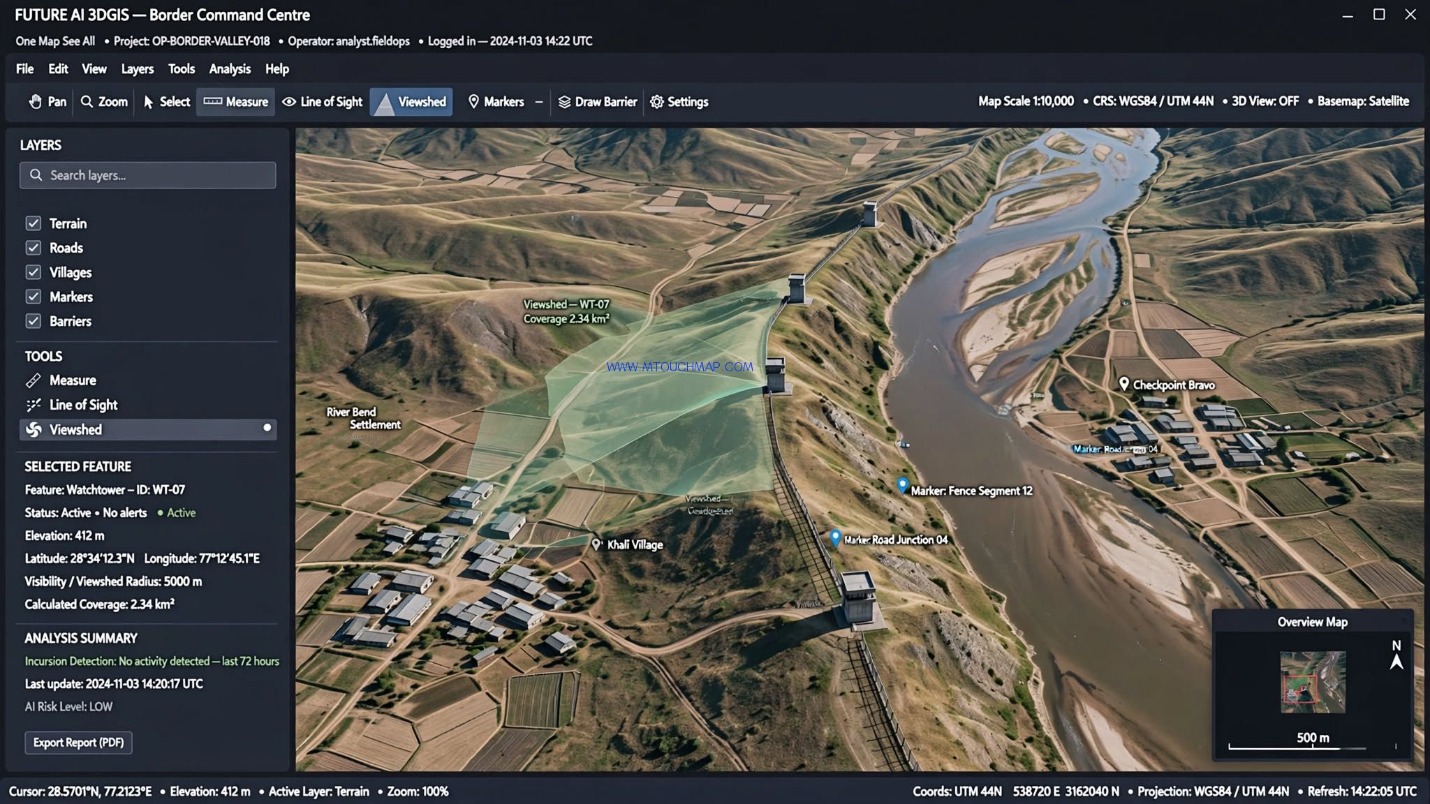
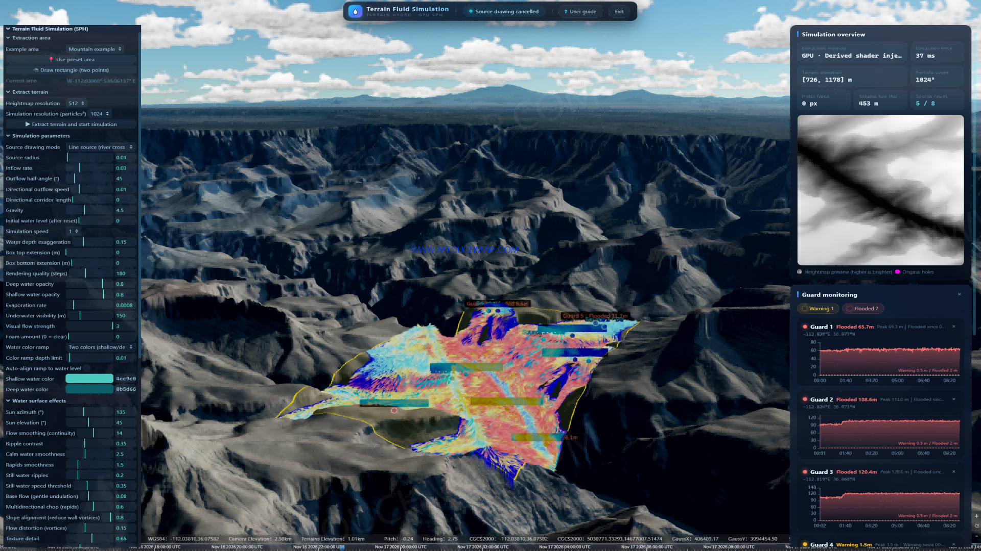
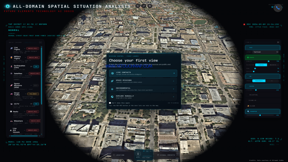
Terrain, roads, villages, markers and barriers are compiled into one 3D sandbox. Measure distance, check line-of-sight, and click any object to inspect it.
2. Sensors and video are separate → All on the map
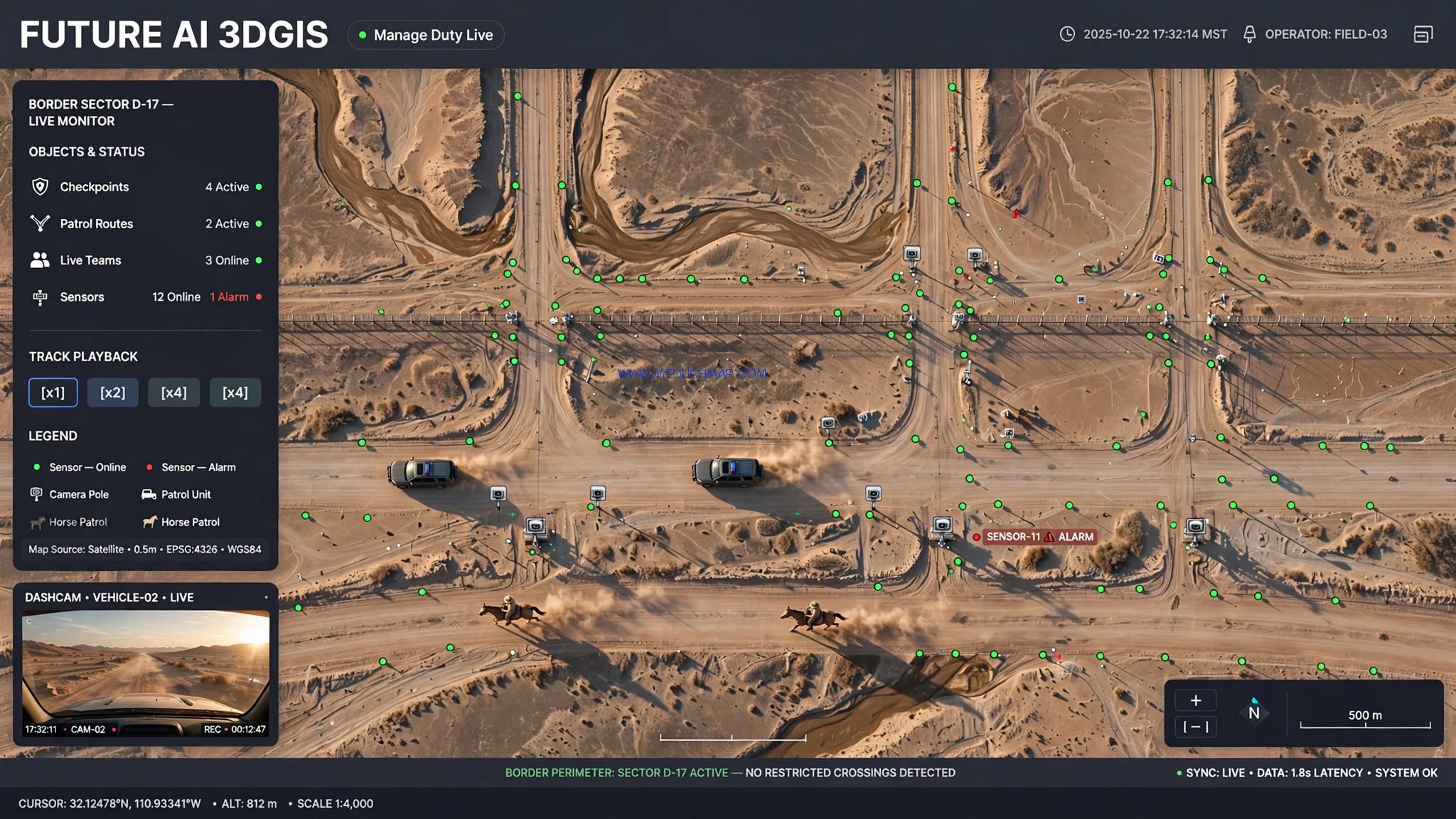
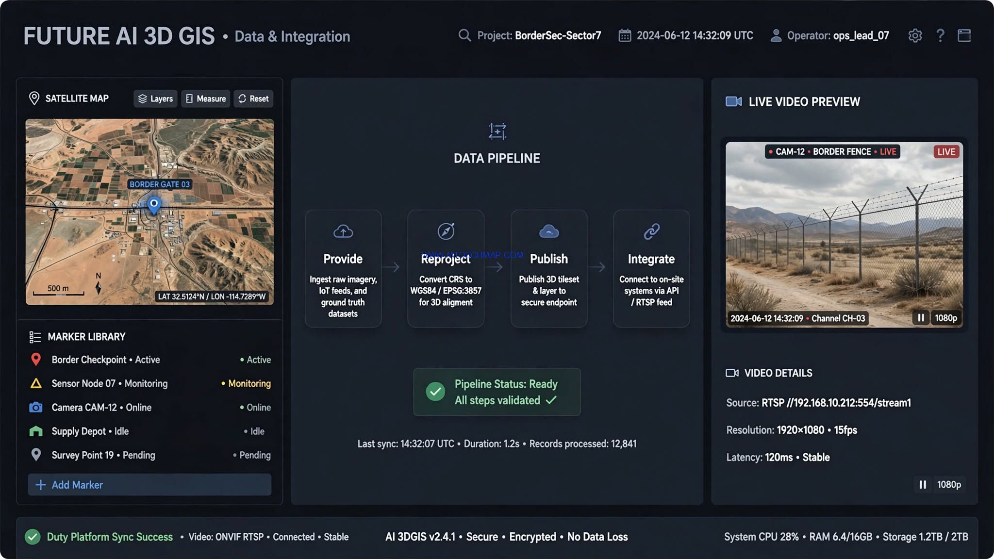
Cameras, radar, fibre, infrared and video points are plotted on the map. Green = Online, Grey = Offline, Red = Alarm. Click to preview video and control the camera.
3. Patrols are hard to see → Duty on the map
Checkpoints, patrol routes and live teams are shown together. Track playback, deviation alerts and temporary checkpoints keep patrol under control.
4. Incidents are slow, plans are on paper → Respond and rehearse on the map
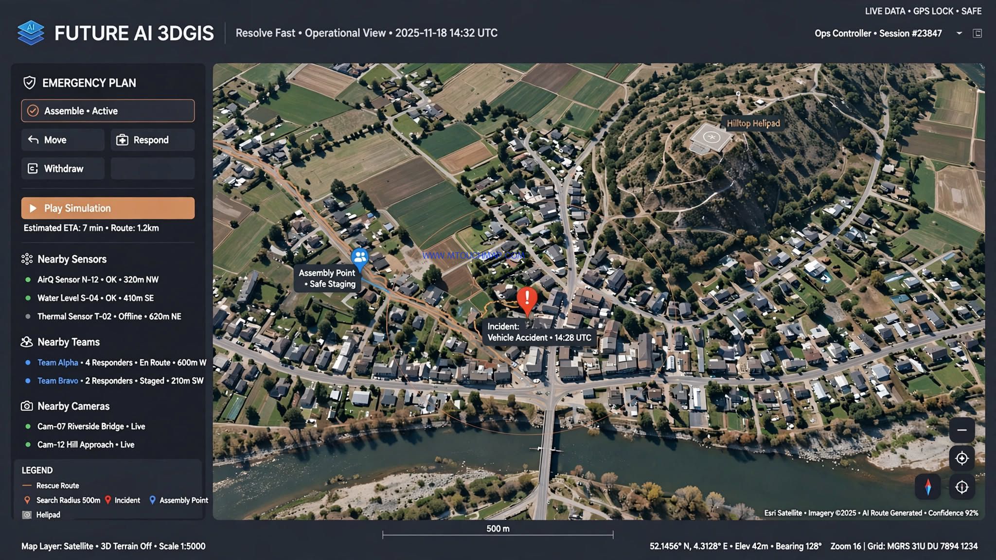
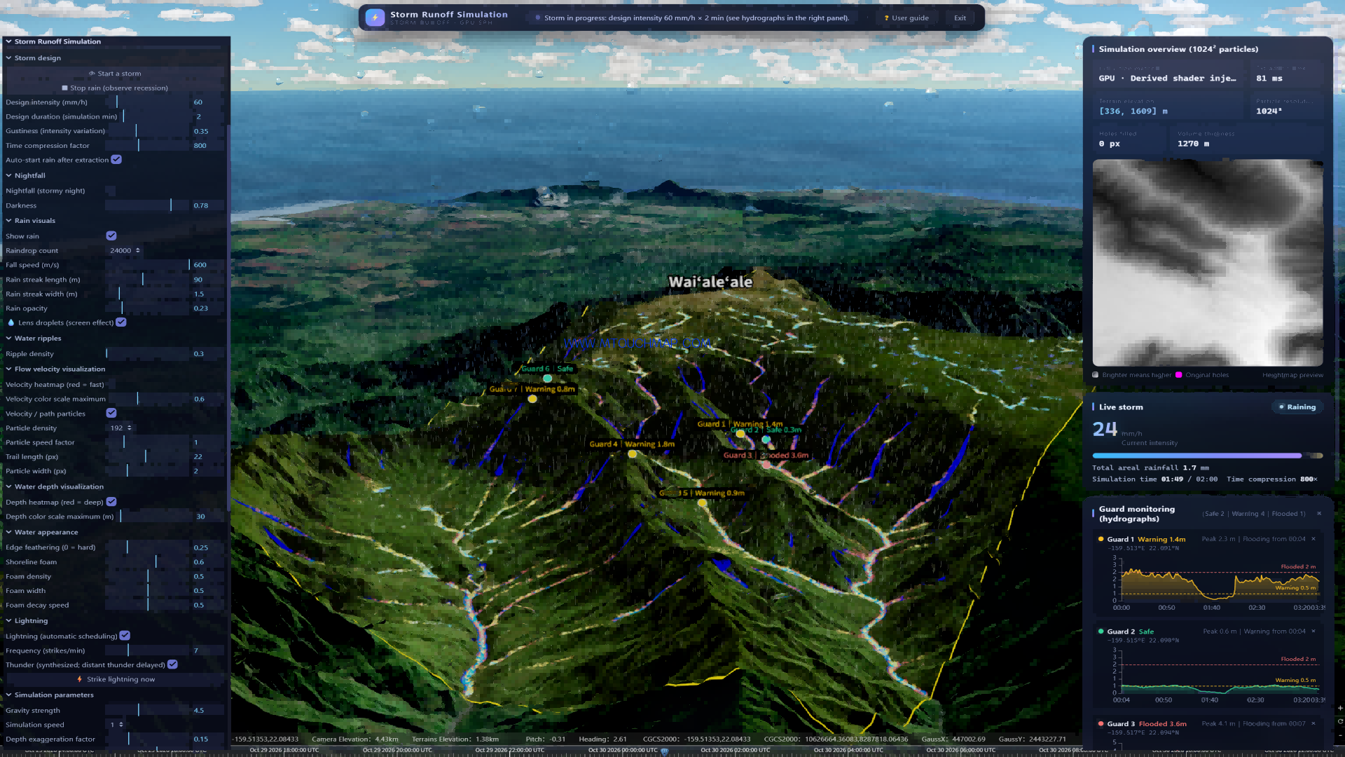
An alert locates itself on the map. Search nearby sensors, cameras and teams in one click, then dispatch. Emergency plans become animated steps — Assemble → Move → Respond → Withdraw — so teams rehearse before they act.
We do not replace your systems. We connect them.
Your duty platform, sensor platform and video platform keep running. We integrate them through open interfaces and show the result on one map
See all. Manage duty. Resolve fast.
Contact us to see a live demo of FUTURE AI 3DGIS